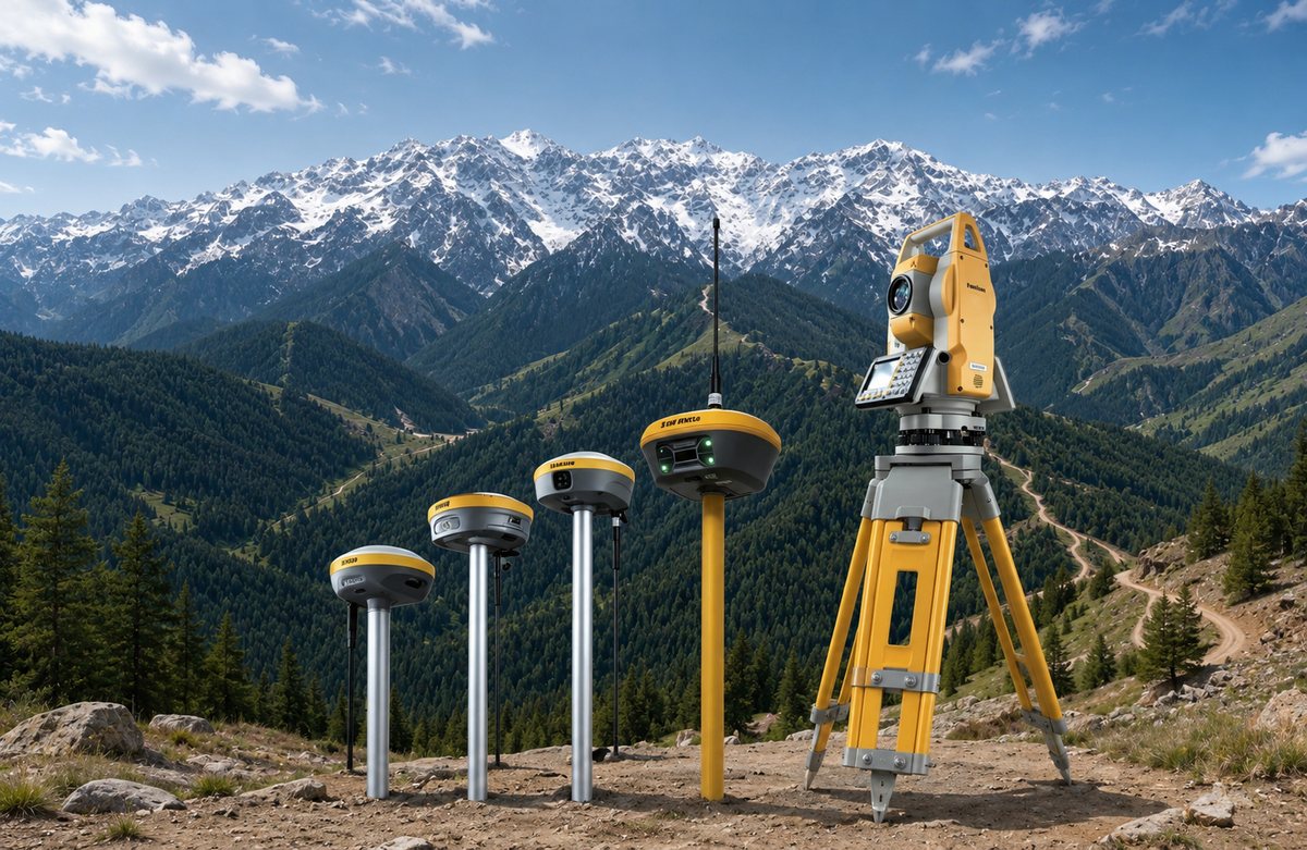
 PRODUCT CATALOG 2026

Toptech Intelligent Technology Co., Ltd
上海拓浦泰科技发展有限公司
GNSS and Surveying Solutions
WHO WE ARE
Precision positioning, end to end
Toptech focuses on the research, development, manufacturing and sales of hardware and software for the high-precision positioning industry. We build on BeiDou and multi-constellation satellite navigation, and integrate sonar, optoelectronics, inertial navigation, LiDAR, UWB and satellite-based augmentation.
The result is a full-space positioning portfolio covering land, air, space, indoor and outdoor work — from cadastral and topographic survey to construction layout, mining and 3D reality capture.

Shanghai headquarters
Research · Development · Manufacturing
GNSS RTK
Robotic Total Station
3D LiDAR Scanning
Base and Rover
OUR PRODUCTS
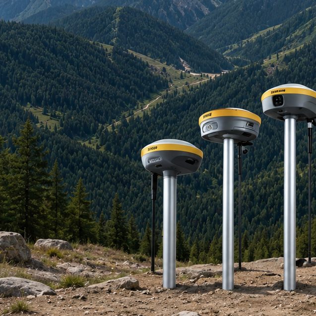
GNSS RTK RECEIVERS
TK Series
1,408-channel full-constellation engine, laser and dual-camera options, detachable batteries, up to 5 W radio link.
TK-200 · TK-300 · TK-600 · TK-800
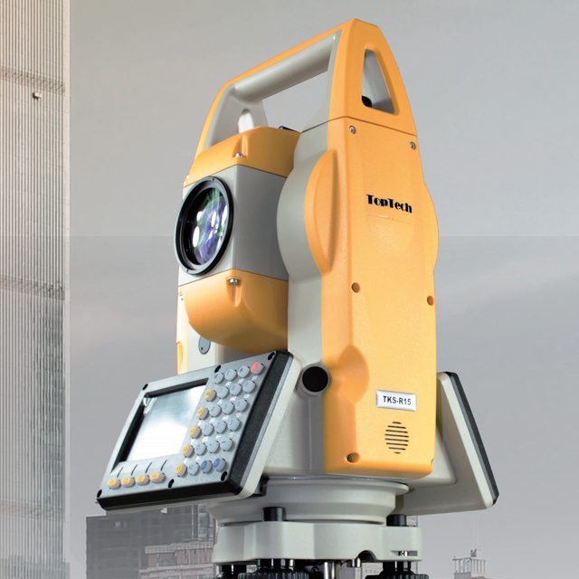
ROBOTIC TOTAL STATION
TKS-R15
2" angle accuracy, 1,000 m reflectorless range, 0.5 s measurement, 5.4 kg with battery.
Motorised · IP65 · 8 h working time
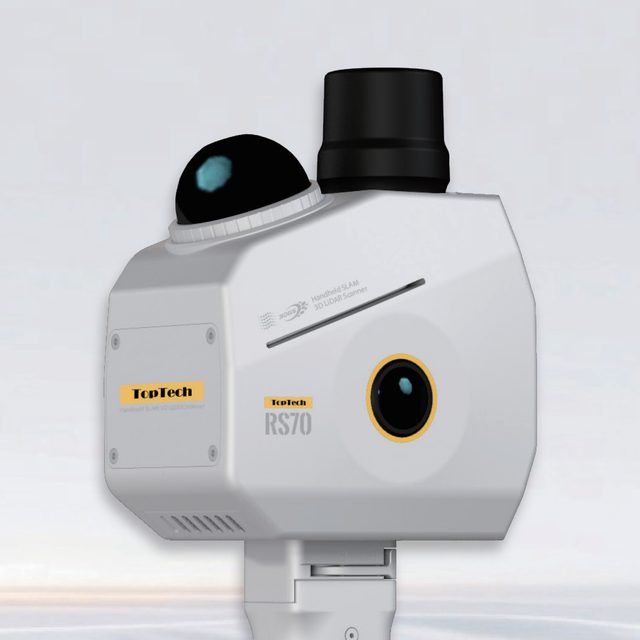
HANDHELD SLAM SCANNER
RS70
200,000 pts/s, 70 m range, 1.38 kg handheld. Dual 12 MP fisheye cameras, 256 GB SSD.
Exports LAS · E57 · PLY · MESH

Built for the field
Construction · Cadastral · Topographic · Mining
GET IN TOUCH
Official Website
www.toptechgnss.com
›
Sales Enquiry
marketing@toptechgnss.com
›
Technical Support
support@toptechgnss.com
›
Building 2, No. 9 Hangdu Road, Hangtou Town,
Pudong New Area, Shanghai, China 201317 © 2026 Toptech Intelligent Technology Co., Ltd. All rights reserved.
Pudong New Area, Shanghai, China 201317 © 2026 Toptech Intelligent Technology Co., Ltd. All rights reserved.